Using Google Earth and aircraft reconnaissance, archaeologists at University College Dublin identified more than 100 previously unknown sites.
Satellite remote sensing has become a valuable tool in archaeology, allowing for the monitoring of existing sites as well as the discovery of new ones, as well as the study of their surroundings.
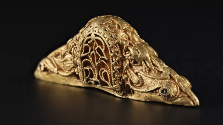
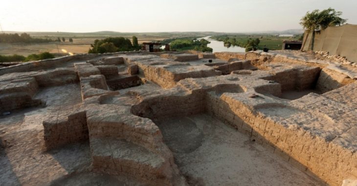
During the Bronze Age, people across Eurasia formed massive trade networks that linked the continent together. However, the Pannonian Plain, an open expanse that now includes parts of Romania, Hungary, and Serbia, was thought to be a distant hinterland. That was true even after archaeologists discovered a handful of massive Bronze Age enclosures, some protected by kilometers-long walls and ditches, two decades ago.
Although sporadic discoveries of bronze artifacts suggested the enclosures weren’t entirely isolated, no one was certain how the structures related to cultural advancements occurring elsewhere in Europe.
“They were seen as unicorns on the landscape,” says Barry Molloy, an archaeologist at University College Dublin. “This was thought of as a backwater.”
📣 Our WhatsApp channel is now LIVE! Stay up-to-date with the latest news and updates, just click here to follow us on WhatsApp and never miss a thing!!
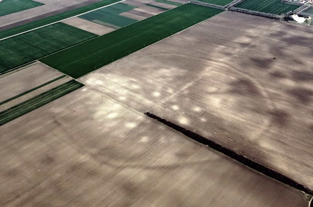
Molloy and other archaeologists turned to satellite imagery to see whether they could spot more structures that ground-based investigations had missed.
Last week, in PLOS ONE, they reported finding more than 100 of these distinct enclosures in what is today Serbia.
They form a 150-kilometer-long belt along the Tisza River, a major north-south artery that divides the Pannonian Plain. The findings indicate that the structures were part of a vast network of settlements that participated in a thriving, continent-wide bronze trade that flourished around 3600 years ago.
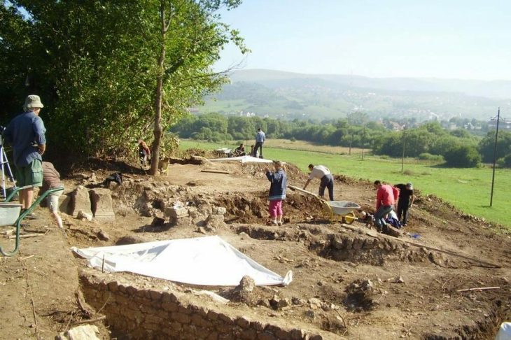
The structures, many identified for the first time, have been hiding in plain sight. Many are invisible from the ground because they were plowed nearly flat after decades of intensive agriculture or destroyed in prehistoric times. After identifying the enclosures in Google Earth photos, Molloy and his team flew over the area in a small airplane, then visited as many of the sites as possible by foot. “We spent a lot of time trudging through mud,” Molloy says.

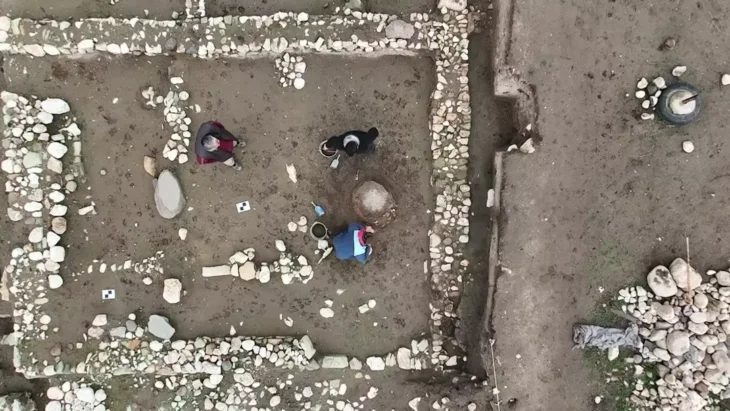
They found pottery fragments, stones for grinding grain, and animal bones littering the surface—ancient artifacts churned up by decades of intensive plowing. Test pits revealed even more such artifacts. Comparing pottery to known sites in the region, the researchers estimated the enclosures dated to between 1550 B.C.E. and 1200 B.C.E. Radiocarbon dates from the animal bones confirmed that range.
The sheer size of the enclosures means they may remain enigmatic for years to come. But researchers helping fill in a blank spot on the map of Bronze Age Europe.
https://doi.org/10.1016/j.jasrep.2023.104188
Cover Photo: NATIONAL MUSEUM OF SERBIA

