
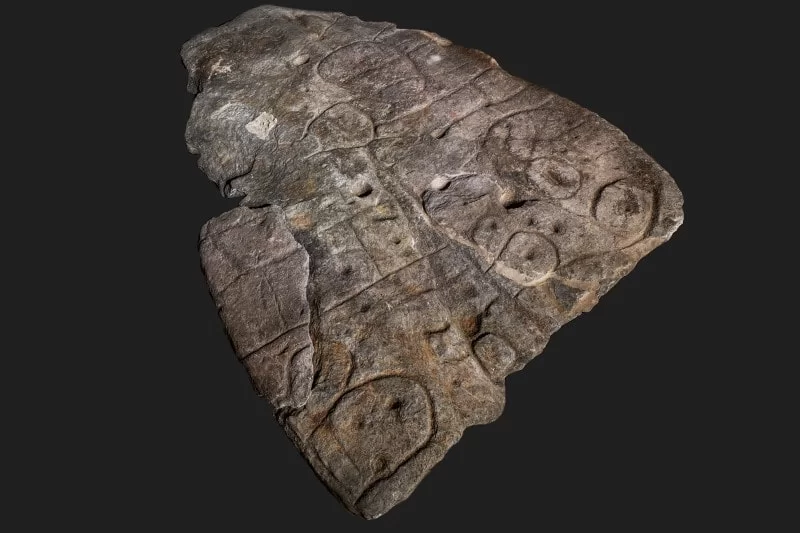
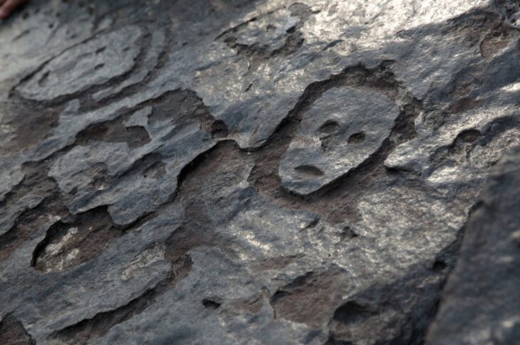
Overlooked for millennia, a rock fragment adorned with enigmatic inscriptions has emerged as a valuable “treasure map” for archaeologists. After 4,000 years of dormancy, researchers are now using it to uncover ancient sites in northwestern France.
The so-called Saint-Belec slab was claimed as Europe’s oldest map by researchers in 2021 and they have been working ever since to understand its etchings – both to help them date the slab and to rediscover lost monuments.
“Using the map to try to find archaeological sites is a great approach. We never work like that,” said Yvan Pailler, a professor at the University of Western Brittany.
Ancient sites are more commonly uncovered by sophisticated radar equipment, aerial photography, or by accident in cities when the foundations for new buildings are being dug.
“It’s a treasure map,” said Pailler. But the team is only just beginning their treasure hunt.
📣 Our WhatsApp channel is now LIVE! Stay up-to-date with the latest news and updates, just click here to follow us on WhatsApp and never miss a thing!!
The ancient map marks an area roughly 30 by 21 kilometers and Pailler’s colleague, Clement Nicolas from the CNRS research institute, said they would need to survey the entire territory and cross-reference the markings on the slab. That job could take 15 years, he said.
“Symbols that made sense right away”
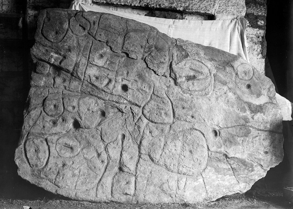
Nicolas and Pailler were part of the team that rediscovered the slab in 2014 — it was initially uncovered in 1900 by a local historian who did not understand its significance.
At the time, more than a dozen workers were needed to move the heavy slab out of the mound where it had been used to form a wall of a large burial chest, according to the National Archeology Museum. It has been kept in the museum’s collections since 1924.
A broken ceramic vessel characteristic of early Bronze Age pottery was also found with the slab, according to the French Prehistoric Society.
The French experts were joined by colleagues from other institutions in France and overseas as they began to decode its mysteries.
“There were a few engraved symbols that made sense right away,” said Pailler.
In the coarse bumps and lines of the slab, they could see the rivers and mountains of Roudouallec, part of the Brittany region about 500 kilometers west of Paris. The researchers scanned the slab and compared it with current maps, finding a roughly 80% match.
“We still have to identify all the geometric symbols, the legend that goes with them,” said Nicolas.
The slab is pocked with tiny hollows, which researchers believe could point to burial mounds, dwellings or geological deposits. Discovering their meaning could lead to a whole flood of new finds.
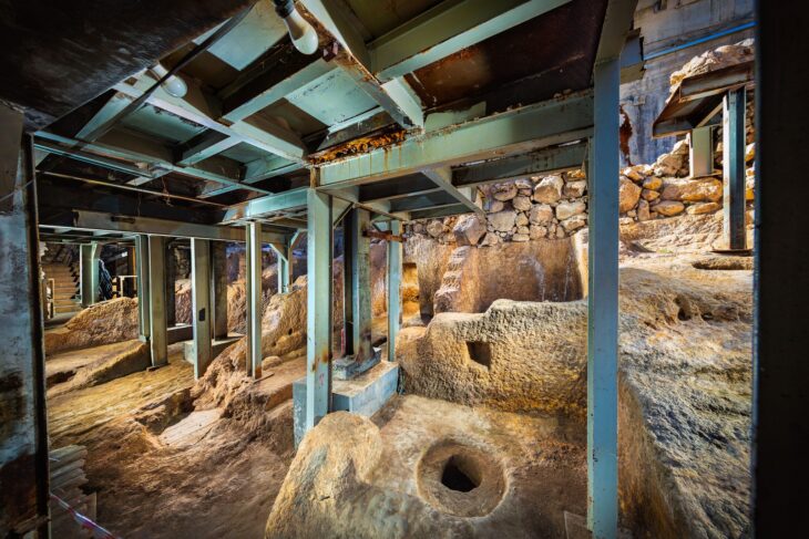
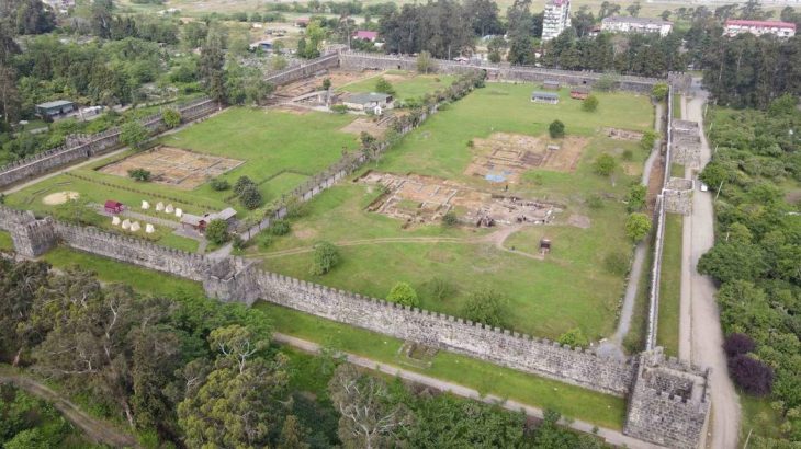
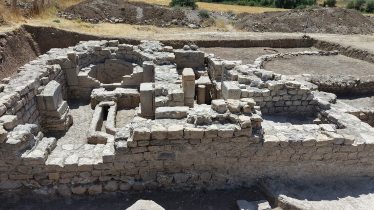
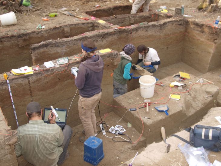
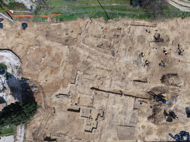
But first, the archaeologists have spent the past few weeks digging at the site where the slab was initially uncovered, which Pailler said was one of the biggest Bronze Age burial sites in Brittany.
“We are trying to better contextualize the discovery, to have a way to date the slab,” said Pailler.
Their latest dig has already turned up a handful of previously undiscovered fragments from the slab.
The pieces had apparently been broken off and used as a tomb wall in what Nicolas suggests could signify the shifting power dynamics of Bronze Age settlements.
The area covered by the map probably corresponds to an ancient kingdom, perhaps one that collapsed in revolts and rebellions.
“The engraved slab no longer made sense and was doomed by being broken up and used as building material,” said Nicolas.
The so-called Saint-Belec slab was claimed as Europe’s oldest map by researchers in 2021. Researchers examined the carved stone slab and dated it to the early bronze age. (MÖ 2150-1600)


Find the mountain or land that matches the rock “tablet”. Rocks are maps. We kinda had a plan and thought this through pretty thoroughly when we designed the thing to do the work before we got here. You’re welcome. Thank you.
~ Nobdy