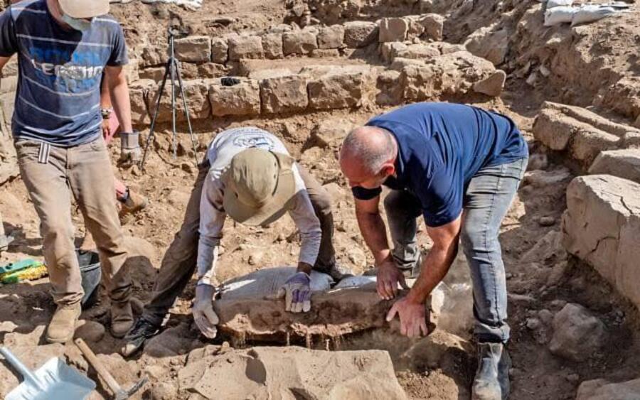
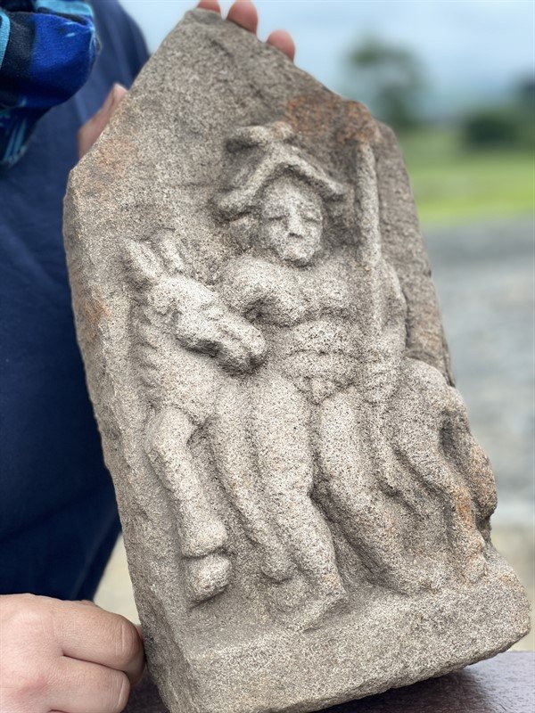
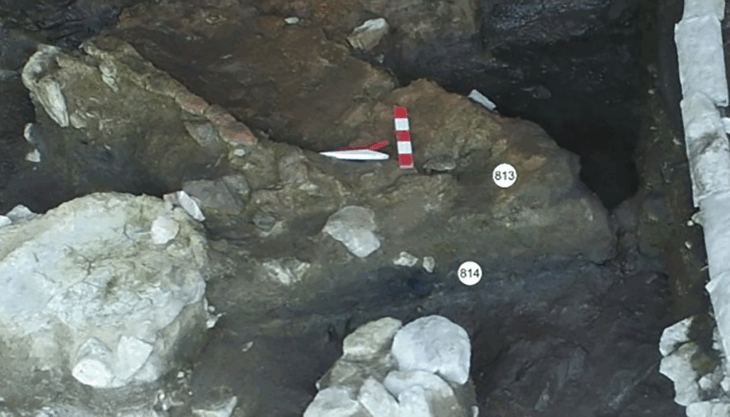
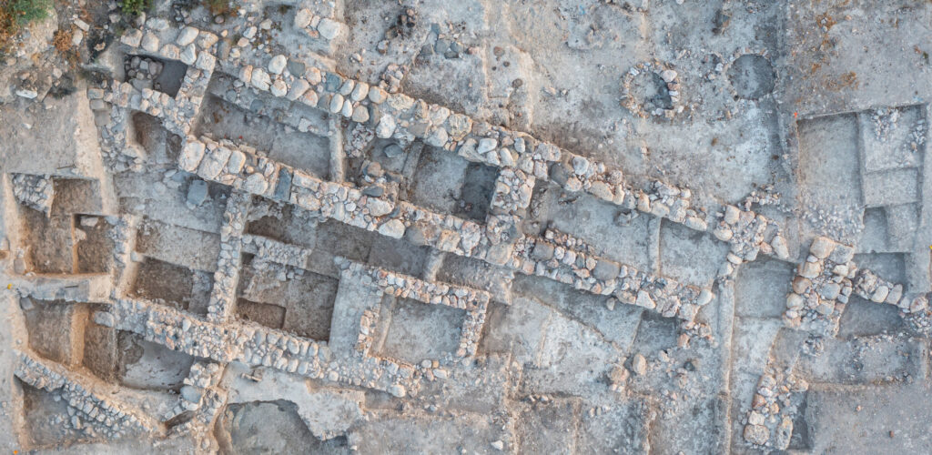
In northern Galilee, excavations at Tel Avel Beit Ma’akha, about 1.2 miles south of Metula, have produced a remarkable find: a rare Roman boundary stone from the Tetrarchy era. The stone offers information about ancient land ownership, regional settlement patterns, and imperial administrative procedures.
The remarkable find sheds light on the administrative practices of the Roman Empire under Emperor Diocletian and reveals details about the organisation of territorial boundaries, land ownership and settlement patterns in the region. Moreover, the discovery provides new insights into the historical geography and socio-economic environment of the Roman Levant, including two previously unknown place names.
It was first used to mark land borders as part of the tax reforms implemented by Roman Emperor Diocletian. This ancient basalt stone was later repurposed in a structure from the Mamluk period.
The discovery was made in 2022 under the leadership of Prof. Naama Yahalom-Mack and Dr Nava Panitz-Cohen of the Hebrew University Institute of Archaeology and Prof. Robert Mullins of Azusa Pacific University. Dr Avner Ecker and Prof Uzi Leibner deciphered the basalt slab inscribed in Greek letters. The research is published in the journal Palestine Exploration Quarterly.
The text enhances our understanding of the fiscal and territorial reforms implemented by Diocletian in the late 3rd century CE when he established a system of governance known as the Tetrarchy.
📣 Our WhatsApp channel is now LIVE! Stay up-to-date with the latest news and updates, just click here to follow us on WhatsApp and never miss a thing!!
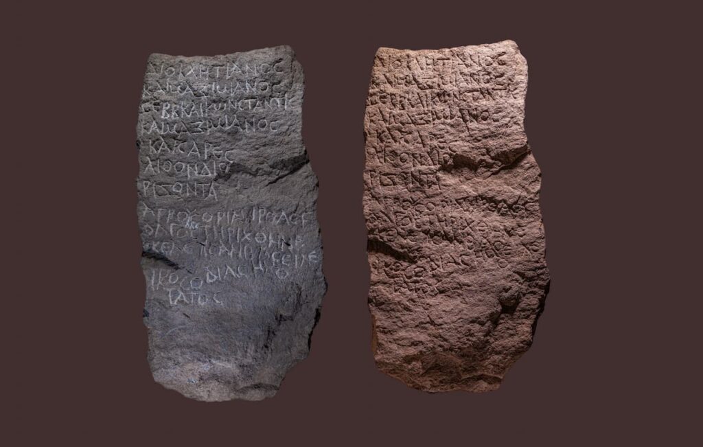
The tetrarchic boundary stone’s original location is unknown but in light of its size and weight, it was probably close to the find spot. The stone intact and is 101 cm long, has a maximal width of 48 cm, and is 20–23 cm thick.
The find, originally inscribed to delineate agrarian borders between villages during the reign of the Roman Tetrarchy (a short-lived system instituted by the emperor Diocletian in 293 CE to govern the Roman Empire by dividing it between two emperors, the augusti, and their junior colleagues and designated successors, the caesares) and was found in secondary use in a Mamluk-period installation.
Tirthas and Golgol, two previously unidentified village names, were discovered in the inscription; these could be ancient locations found in the Survey of Western Palestine in the 19th century. An imperial surveyor, or “censitor,” whose name is attested here for the first time, is also mentioned in the slab. These markers highlight the importance of land ownership and settlement patterns in the Roman Near East’s economic landscape and reflect the extensive tax reforms that Diocletian started in the late third century CE.
Originally intended to mark agricultural borders between villages, the marker is a physical reminder of the administrative restructuring that characterized the Tetrarchy. The Roman Empire was ruled by two senior emperors (augusti) and their two junior colleagues (caesares) during this time, and it was split up into four regions.
“This discovery is a testament to the meticulous administrative re-organization of the Roman Empire during the Tetrarchy,” said Prof. Uzi Leibner. “Finding a boundary stone like this not only sheds light on ancient land ownership and taxation but also provides a tangible connection to the lives of individuals who navigated these complex systems nearly two millennia ago.”
Dr. Avner Ecker added, “What makes this find particularly exciting is the mention of two previously unknown place names and a new imperial surveyor. It underscores how even seemingly small discoveries can dramatically enhance our understanding of the socio-economic and geographic history of the region.”
The Abel Beth Maacah border marker completes a unique collection of over 20 boundary stones found in the area, demonstrating the interplay between local settlement patterns and imperial policies.
Doi.org/10.1080/00310328.2024.2435218
Cover Image Credit: Israel Antiquities Authority

