Polish Scientists to opening a new era in archeology They plan to use artificial intelligence to detect prehistoric cemeteries, castles, and settlements. They believe that if the system proceeds as intended, it will create a revolution, just as radiocarbon dating does.
If the study is successful, Polish Scientists will be the first scientists to use artificial intelligence to detect settlements.
Project initiator Piotr Wroniecki from the University of Warsaw said: “We want to use artificial neural networks to detect traces of ancient man-made structures. Contrary to popular opinion, even in Poland, there are thousands of unknown relics of intense and long-term human presence. I expect a very large increase in data.”
Wroniecki’s team includes not only archaeologists but also geographers, historians, informatics experts, and experts from the private sector.
Piotr Wroniecki, In order for an artificial neural network to function properly, it needs a very large amount of data for processing. That’s why we will +feed+ it terabytes of satellite images as part of the project. For several decades, scientists have been analyzing these images for archaeology, but people look at the photos. It takes a lot of time. In addition, people look at them subjectively. That is why they keep missing old traces of human activity. We hope that artificial intelligence will be able to identify them quickly, efficiently, and objectively” he said.
📣 Our WhatsApp channel is now LIVE! Stay up-to-date with the latest news and updates, just click here to follow us on WhatsApp and never miss a thing!!
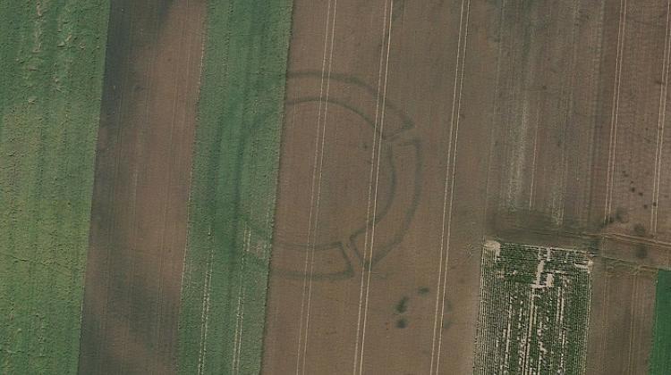
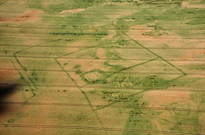
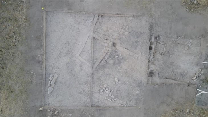
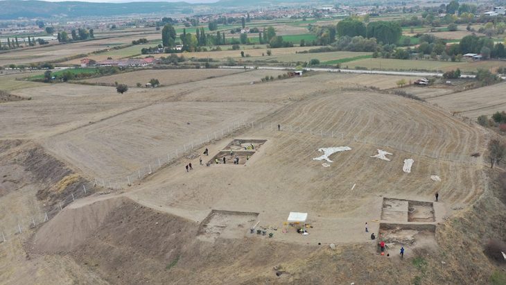
The neural network will be programmed to focus on distinguishing crop markers visible in satellite or aerial photos. Where old buildings remain, the growth pattern of grains and grasses is slightly different from that of the surrounding areas. The outlines of prehistoric houses are signaled by, for example, darker vegetation. New archaeological sites in Europe are usually discovered this way-by looking for changes in characteristics that can be seen from a bird’s-eye view.
Wroniecki said: “We will therefore focus not on a specific type of object, a cemetery or a megalithic tomb, but on a type of intermediary in the form of crop marks, revealing the underground presence of a given monument.”
The satellite images will be uploaded to an artificial intelligence system, which will then find crop marks, classify them as archaeological remains, and then outline and mark them on a map.
Wroniecki said it would take months to do this job manually. Although artificial neural networks are already used to classify fragments of ceramics, so far “no one in the world has used artificial neural networks to analyze crop marks in satellite imagery in search of traces of ancient human activity,” says.
Currently, archaeologists usually focus on a single settlement or cemetery. But Wroniecki believes that these issues should be studied as a whole, and a comprehensive study of the archaeological landscape should be carried out.
The project is scheduled to run for three years and the archaeologist hopes to result in a prototype tool that can be used across Europe.
Source: PAP

