
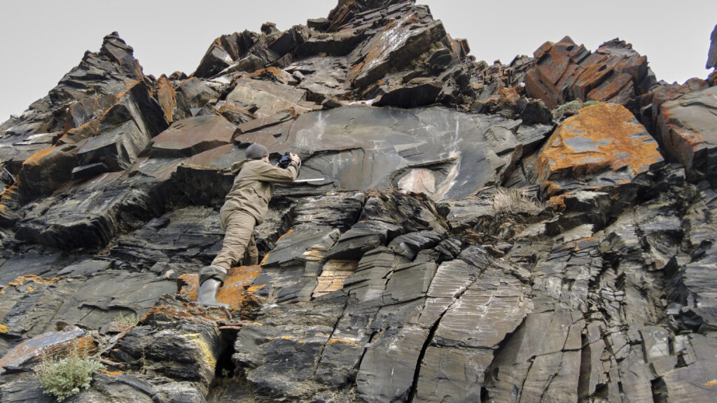
Archaeologists working in Chukotka, Russia’s far northeastern region across the Bering Strait from Alaska, have documented 31 previously unknown petroglyph surfaces along the remote Pegtymel River. The discoveries came during a 2026 expedition that set out to complete the digital mapping of one of Eurasia’s most isolated rock-art landscapes.
The team from the Institute of Archaeology of the Russian Academy of Sciences spent August examining cliffs and rock outcrops in northwestern Chukotka. Their work brought the total number of known and documented surfaces with petroglyphs in the Pegtymel area to 690 and revealed that the rock-art zone extends farther than researchers had previously established.
The Pegtymel petroglyphs lie on the right bank of the river in a landscape that remains exceptionally difficult to reach. Archaeologist Nikolai Dikov began studying the site in 1967, while researchers from the Institute of Archaeology have carried out systematic work there since 2005.
Mapping one of Asia’s most remote rock-art sites
Since 2021, a team led by Elena Levanova of the Institute of Archaeology and Yuri Svoysky of Moscow’s Laboratory of Remote Sensing and Spatial Data Analysis has focused on creating a detailed digital record of the site. Researchers have mapped individual panels, produced three-dimensional models, and made virtual versions of some of the petroglyphs available online.
The 2026 season targeted the most difficult sections, including panels that could only be reached with climbing equipment and other specialized gear. By the end of the fieldwork, the team had digitally recorded every Pegtymel petroglyph currently known to researchers and fixed each location with geodetic precision.
That process also changed the archaeological map itself. As researchers cleared partially buried rock blocks and examined areas previously considered unproductive, they identified additional carved surfaces within the main Keeneikuul locality.
The eastern part of this zone had long appeared almost empty. The new survey showed otherwise, and the number of decorated surfaces within the main Keeneikuul area has now reached 680.
A 10-kilometer search reveals a new rock-art locality
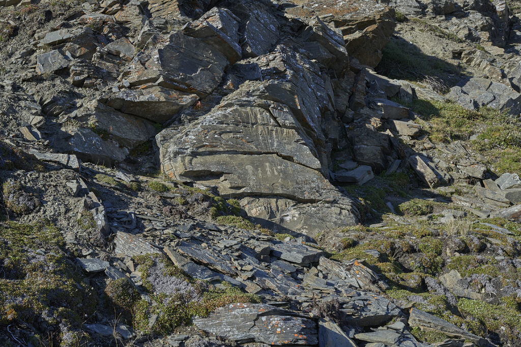
The expedition also moved beyond the main concentration of petroglyphs. Researchers surveyed the right bank of the Pegtymel between Keeneikuul Creek and the Kychakvaam River, covering a cliff system that stretches for more than 10 kilometers.
Earlier expeditions had struggled to find additional sites in this area. Dikov recorded two isolated petroglyph locations between the 1960s and 1980s, but later searches in 2000 and 2005 failed to identify new concentrations.
With most of the documentation work at Keeneikuul finally complete, the 2026 team could carry out a systematic search across the entire cliff line. Researchers mapped the surrounding landscape at the same time and recorded the exact position of every newly identified petroglyph surface.
The survey revealed a previously unknown rock-art locality containing nine decorated surfaces. The new evidence shows that petroglyphs occur across all four rocky sections of the Keeneikuul-Kychakvaam escarpment, areas separated by creeks and temporary watercourses.
Across the wider Pegtymel area, the expedition brought the total number of known and documented rock-art surfaces to 690, including 31 that had not previously been recorded.
Evidence may point to another prehistoric camp
The team also searched for archaeological material scattered across the landscape, with particular attention to the eastern part of Keeneikuul. These finds helped researchers trace zones where soil movement had carried artifacts downslope over time.
Their distribution may indicate another archaeological site east of a hunting camp excavated by Dikov in 1968. According to the researchers, people may have worked stone and bone at this second location, adding another dimension to the way prehistoric groups used the Pegtymel landscape.
The possibility remains preliminary, but it suggests that the rock art should not be viewed in isolation. The cliffs, camps and artifact scatters may form parts of a broader cultural landscape that developed along the river.
A digital record for a landscape under pressure
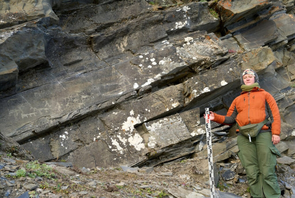
The main achievement of the 2026 expedition was not simply the addition of 31 new petroglyph surfaces. For the first time, researchers now have a complete digital record of every Pegtymel petroglyph currently known, together with precise maps showing how the carvings relate to one another and to the surrounding terrain.
That dataset will allow archaeologists to refine the boundaries of the individual rock-art localities at Keeneikuul, Keininei I, Keininei II and Ankapagrat. It could also support a reassessment of the protected federal monument known as the “Rock Drawings” site.
The work carries an added urgency because the Pegtymel petroglyphs occupy an exposed Arctic environment and continue to deteriorate. Researchers hope the new spatial data and three-dimensional documentation will support future conservation planning while also making the site accessible to people who may never be able to reach Chukotka in person.
The long-term goal includes the creation of a public virtual museum, giving researchers and visitors remote access to one of the most isolated rock-art landscapes in Russia and Eurasia.
